Bushfire Risk from Overhead Transmission
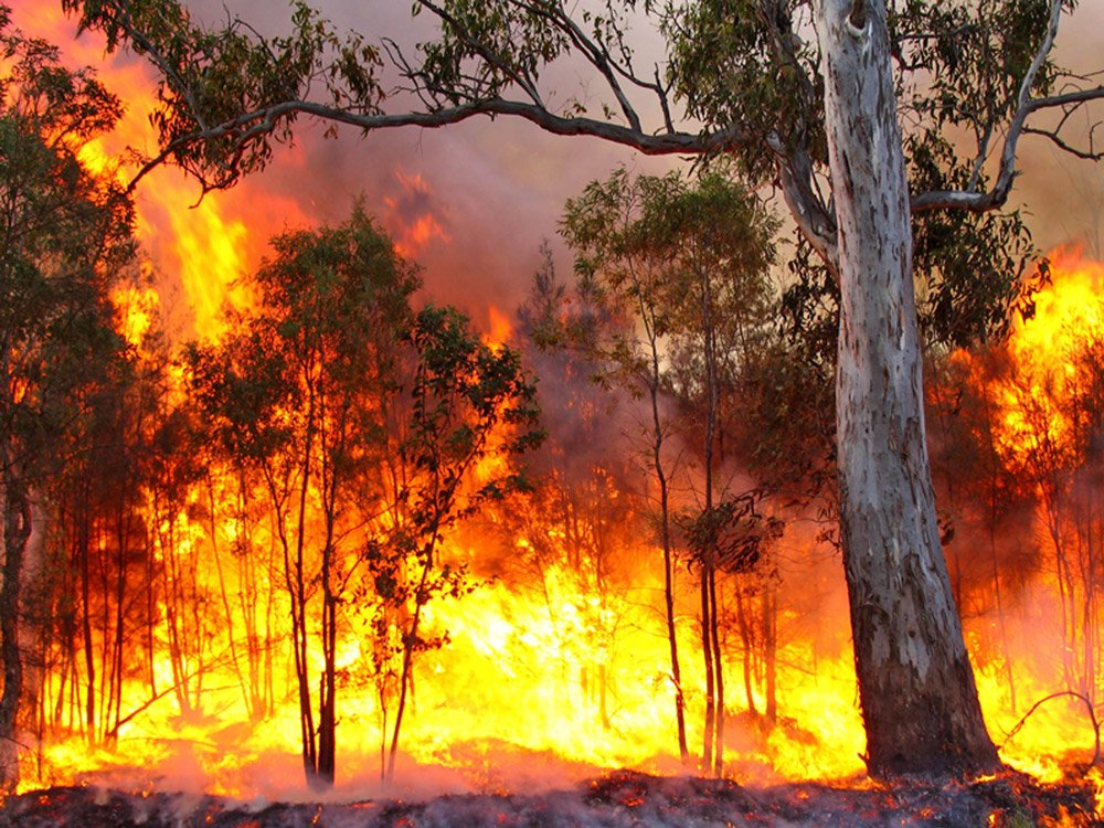
Fires can be, and are regularly, caused by high voltage power lines. AusNet Services Group reported to Energy Safe Victoria and the Australian Energy Regulator, that there were 79 ‘fire-start’ incidents in the 6 months between January and June 2016. Of these, 59 were attributed to: lightning strikes; contacts with birds, animals, or objects, HV fuse failures; and other infrastructure failures. It is noted that the arc distance for a 500kV overhead power line that is hit by lightning is up to 50m from the base of the tower.
Highest Risk Bushfire Region
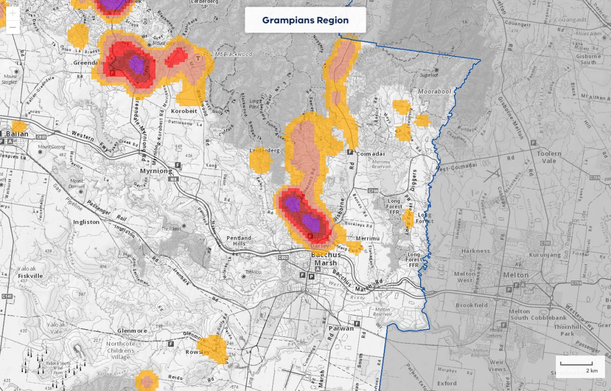
According to Forest Fire Management Victoria, Darley is in the Highest Risk category for the region. Coimadai, further to the north is in the High Risk category.
Overhead transmission infrastructure, proposed to the north of Darley, is highly inappropriate for this area and represents one of the worst locations in the state for them to be located. Overhead transmission infrastructure amplifies the risk of fire ignition and increases the bushfire risk to one of the highest risk towns in the region. This directly contravenes the Strategic objectives of the Code of Practice for Bushfire Management, which is that human life will be afforded priority over all other considerations.
Extreme and High to Very-High Risk
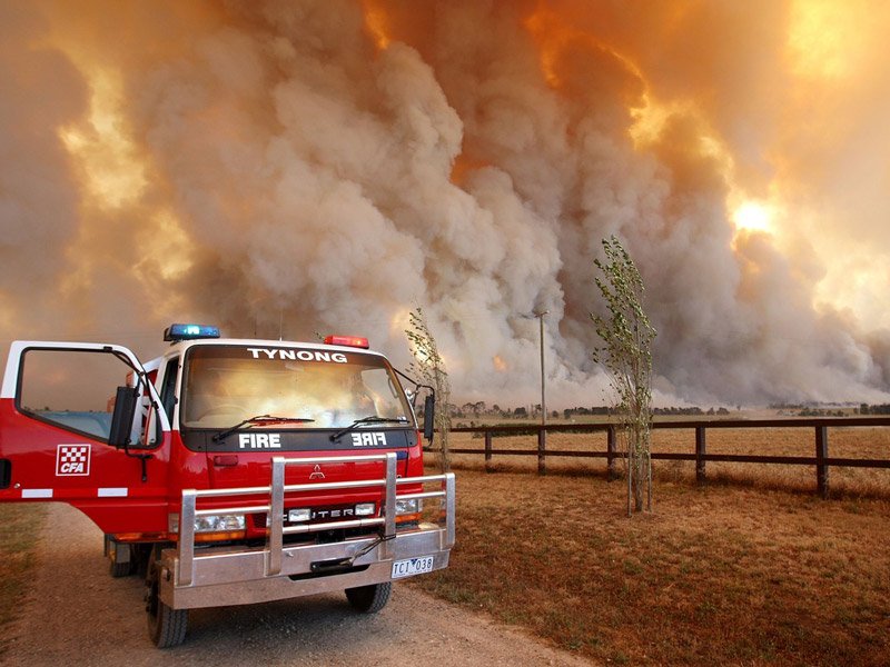
The region has both Extreme and High to Very-High Risk areas identified in the Victorian Fire Risk Register. Many are listed in the High to Very-High Fire Risk category. Current typical weather conditions for the Moorabool Shire include warm-hot dry summers and cool wet winters.
Bushfire Season is usually hot with north to north-westerly prevailing winds accompanied by high air temperatures and low humidity.
Under the State Government Climate Change Projections, the region is expected to experience increased summer temperatures, decreased rainfall days, especially in Spring, but with increased rain intensity (storm) events. These factors are likely to increase further the fire risk classification for this region.
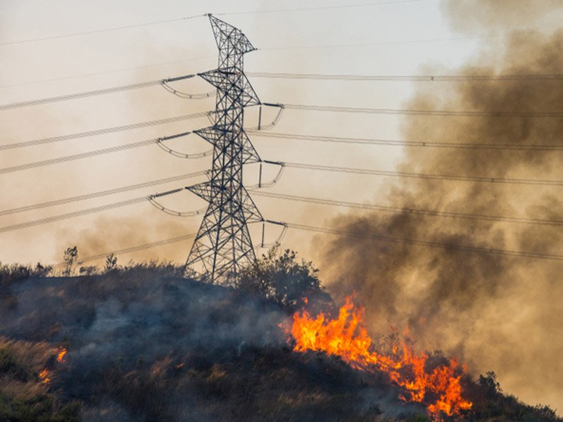
Bushfire Prone Area
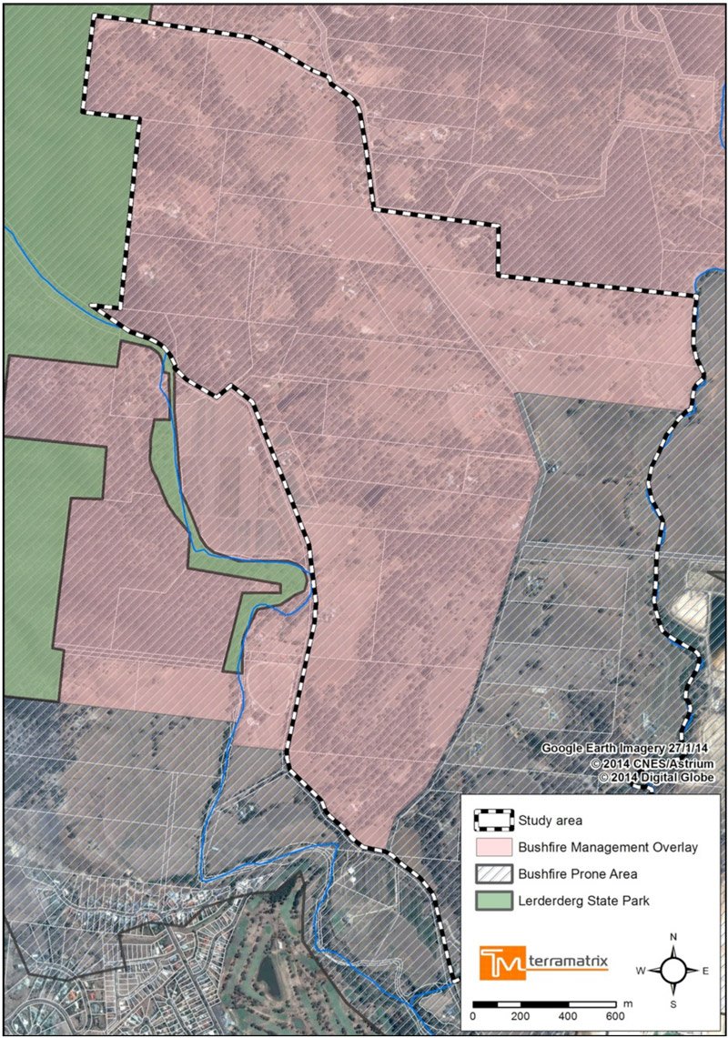
The Northern Darley Alignment AoI is within a designated Bushfire Prone Area (BPA) (refer Map).
The bushfire risk to the northern and westernmost parts of the AoI that abut the Lerderderg State Park, could under severe bushfire weather conditions be extreme. The landscape beyond the study area in these directions, provides the potential for very long fire runs from the north and west, over some areas of steep or very steep terrain. Outside the AoI this landscape has the potential to generate extreme fire behaviour, which may be beyond the BMO parameters.
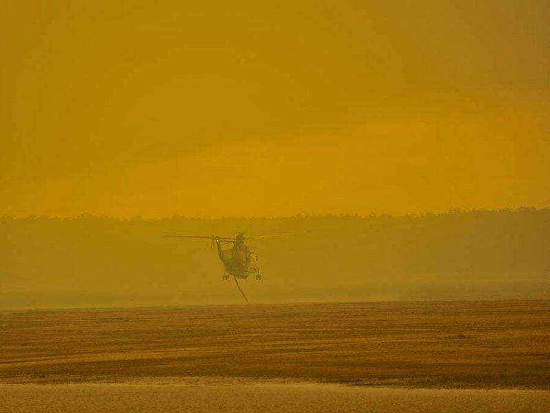
Impact on Firefighting Water-bomber Assets
There are concerns the lives of water-bomber pilots and community could be put at risk if the Project goes ahead through the proposed northern corridor. The proposed corridor passes through the middle of the Merrimu Reservoir, the regions primary water source, and is raising great concern with community and CFA volunteers.
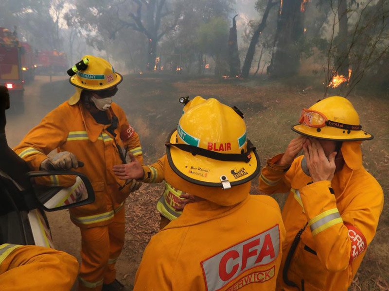
Firefighting Operations
Major powerlines are critical infrastructure. They support essential community services and their de-energisation may have significant impact on public safety. Some smaller lines directly service critical sites such as sewerage, water and communication facilities. It is therefore preferable not to attempt fire control activities near energised lines where possible.

Join Now
Get Involved
The only way to make a difference is to get involved. It’s easy to sit back and wait for others to do something but when you are staring at 75-85m towers in a few years time, you will kicking yourself for not doing something when you had the chance. This is OUR only chance to stop these towers, so get involved now.
Welcome to the home of Darley Power Fight. A group of residents in Darley, Coimadai and Merrimu, united against high voltage transmission towers passing through our backyard. We came together through the realisation the transmission line will divide a narrow corridor between Darley and the Lerderderg State Park; altering landscape character, causing widespread damage to critical habitat for threatened species, increasing fire risk to the Park and thousands of residents, destroy our visual amenity, harm local agriculture and will impact businesses and property values. It will completely desecrate, in a few years, what nature has taken millions of years to create.

